Hiroshige included water — canals, moats, streams and rivers — in no fewer than 91 of his 118 prints in the 100 Famous Views of Edo series. So ubiquitous was water on the Edo landscape that early western visitors compared the city to Venice. In addition to the aesthetic value of waterways that Hiroshige depicted, water played a starring role in the development of Edo.
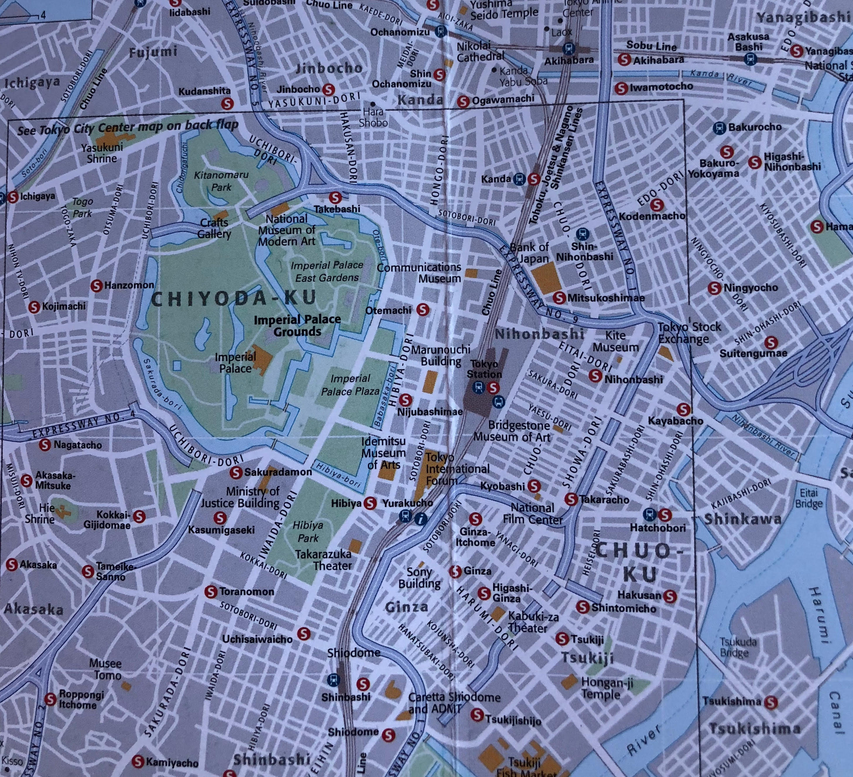
The print above depicts a woman waiting for a ferry to cross Nihonbashi River. Distinctive white storehouses lining the waterway kept staples such as rice, soy sauce and sake after boats transported them to the capital. That location today is close to the Tokyo Stock Exchange.
Transportation
A river-canal-moat network engineered to the outer perimeters of Edo Castle created transport within Edo, bringing immense timbers and massive boulders to Edo to construct the castle and its moats. Print #45 below shows a junction of Nihonbashi River with Edo Castle’s moat system through which the timbers and hewn rock passed.
The bridge is called “Yatsumi no Hashi” which means “an eight bridge view,” noting the many bridges visible from that spot (only three of which can be seen from the picture). The calm of the print’s summer day masks the frenzy of what was one of Edo’s busiest spots. A signboard still remains here from the Edo Era on which parents posted notices to find children they had lost in the press of the crowds. In the very bottom left of the print you can see the hats of two pedestrians as they crossed the bridge.

Defense
Soon after Tokugawa Ieyasu declared Edo his capital in 1603, he excavated moats to defend Edo Castle. Rather than using only one or concentric circles for moats, Ieyasu innovated with a system using a spiral design (see image below) to confuse potential invaders with its asymmetry. Although many have been destroyed, the moats encasing today’s Imperial Palace remain a beautiful and distinguishing characteristic of central Tokyo.

Spiritual Release, Amusement, and Lettered Activities
Waterways and their banks also provided respite from the unrelenting control of the shogunate. Shrines and temples clustered along waterways offered spiritual release and became magnets for entertainment from puppet shows to jugglers, magicians and other midway fare, as well as prostitution. These waterside areas also created literary spaces in Edo where kabuki and other kinds of storytelling, theater, and lettered activities flourished [2].
Drinking Water
Water was not always Edo’s friend. Marshy fields at the mouth of a sea inlet filled most of its wells with brackish, undrinkable water. And the web of streams and rivers flowing through the lowland areas were constantly flooding.
The simultaneous problems of both too much and too little water caused Tokugawa Ieyasu and his successors to undertake ambitious engineering feats to bring potable water into the city and redirect flooding waterways away from the lowlands. The engineering began with digging a series of wells throughout the city, then building wooden pipes to bring fresh water to the wells.[3]
A Water System

To meet the demands of a fast-growing population, the shogunate tapped a water source at Inokashira (above) that at that time was in a town about eight miles west of Edo Castle and today is in western Tokyo. The literal meaning of Inokashira is “head of the well.” Engineers built a canal and a man-made river called Kandagawa River to bring the water to central Edo. Hiroshige’s print below is a view of this river whose steep banks still create striking views as one takes the Chuo Train Line west from Tokyo Station.

By the mid 1700s water pumped to the city center via the Kandagawa was no longer sufficient, and the third Tokugawa shogun undertook a comparable project in the south that linked with the Kandagawa.[3] Print #42 below depicts people enjoying cherry blossoms on the canal importing water from the Tama River to the southern portion of Edo.

( Although that’s the print’s title, it’s actually the canal to the Tama River.)
Reclaiming its Watery Past
After Edo became Tokyo in 1868, waterways were sacrificed to development. But the city once again seems to be embracing its watery heritage. Some rivers that had been routed underground have allowed to resurface, and walking paths have sprung up along the Sumida and other rivers and streams.
The Edo-Tokyo App will guide you to a number of strolls along these waterways. Inokashira Park in western Tokyo remains a great retreat from the city within the city, replete with boating. It can be handily combined with a visit to the nearby Ghibli Museum (reservations required) featuring the anime of Miyazaki Hayao.
The Tokyo Waterworks Historical Museum near Ochanomizu Station is a hidden gem of a museum that tells the drama of Edo-Tokyo and its water. Although its English signage was not complete when I last visited the museum, exhibits, pictures and animation more than compensate to graphically tell the story of water in Edo.
[1] Akira Naito, Edo the City that Became Tokyo, An Illustrated History, with illustrations by Kazuo Hozumi, translated by H. Mack Horton, Kodansha International, 2003, pps. The map is reproduced from pages 34-45. The original was published in Japanese by Soshisha under the title Edo no Machi in 1982.
[2] Hidenobu Jinnai, The Spatial Structure of Edo, Chapter five in Nakane Chie and Shinzaburo Oishi, The Social and Economic Antecedents of Modern Japan, University of Tokyo Press, 1990.
[3]The website: http://www.us-japan.org/edomatsu/josui/frame.html provides terrific information about building Edo’s water system as well as many other aspects of the Edo Era.